


|
Getting your Trinity Audio player ready...
|
As San Jose mobilizes its resources to prepare for possible El Niño-driven winter flooding, a recent report is highlighting the risks facing low-lying communities along the city’s northern shoreline.
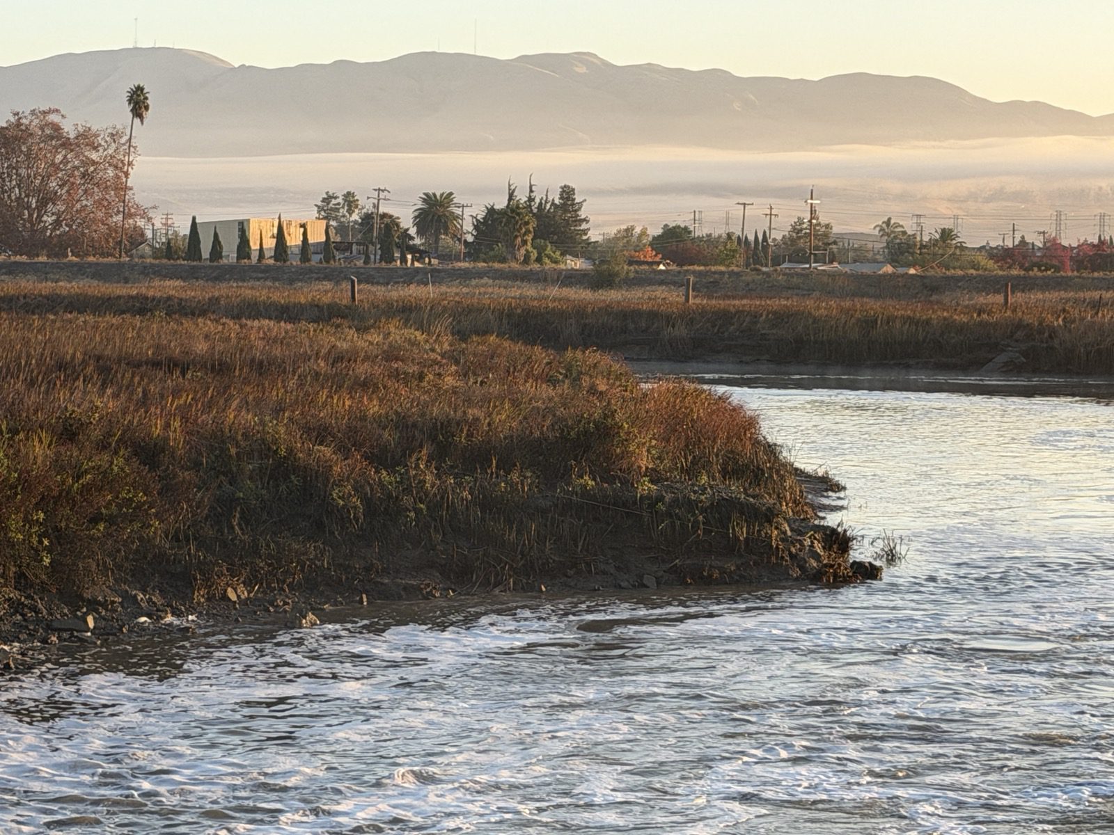
The report — from UC Davis’ Road Ecology Center — included Alviso in a list of California communities at high risk of coastal flooding over the coming winter. The report found the influence of El Niño could compound climate-induced sea level rise to cause the marshlands surrounding the southern end of the San Francisco Bay to spill over, inundating nearby neighborhoods.
Meanwhile, San Jose is taking steps to boost flood preparedness, especially along the 140 miles of waterways that run through the city. The City Council unanimously approved a local emergency declaration Tuesday, granting officials a freer hand in responding to potential flood risks — including by acquiring emergency supplies, coordinating with state and federal agencies and accessing $5.5 million in the city’s emergency reserves set aside for flood response.
The declaration comes in response to a powerful El Niño system, which forecasters warn has heightened flood risks throughout California. The weather phenomenon sees warm water gather in the Pacific Ocean, destabilizing weather patterns across the globe and often, though not always, triggering heavy winter rainfalls in California.
A history of flooding
The UC Davis report found that Alviso could experience flooding if San Francisco Bay waters rise two feet. Moderate flooding is already a regular occurrence in parts of the neighborhood, which lies below sea level and is hemmed in by the Guadalupe River on its western side and Coyote Creek on its east.
Many residents still hold painful memories of the devastating 1983 flood, which took place amid another El Niño system. Heavy rains caused the rivers to spill their banks, washing out hundreds of homes.
In the decades that have come since, numerous flood mitigation projects to protect Alviso have taken shape. San Jose has installed a pumping system to clear flood water away from Alviso’s streets. In addition, Valley Water has also completed flood control projects along the lower Guadalupe and on Coyote Creek.
And the South Bay Shoreline Project — a $545 million flood prevention and habitat restoration effort drawing support from federal state and local agencies — is already well underway, with the first phase of a coastal levee project intended to protect the area from coastal surges now completed.
Valley Water officials said the waterway and coastal protections are designed to withstand anything up to a 100-year flood event — that is, flooding so extreme it is only likely to take place in one out of 100 years.
There are signs these efforts have paid off, Valley Water Deputy Operating Officer John Bourgeois said.
“The last big flood was ’83, and we’ve had significant rainfall and flooding in the area (since then),” Bourgeois told San José Spotlight. “You think of ’98, 2017, other big years where Alviso has not flooded, and that’s in part because of the work we’ve been doing.”
Nevertheless, as the storm season takes hold, many Alviso residents remain anxious.
“You just never know. Something could happen,” community advocate Mark Espinoza told San José Spotlight. “The pump might go out. Levees — strong as they are, sometimes they could flood over the levee.”
Espinoza’s community environmental group Alviso in Action has been working to boost awareness about the flood risks and encourage residents to get prepared by gathering emergency supplies. The organization has also been leading an effort to draw up an evacuation plan for the neighborhood, Espinoza said.
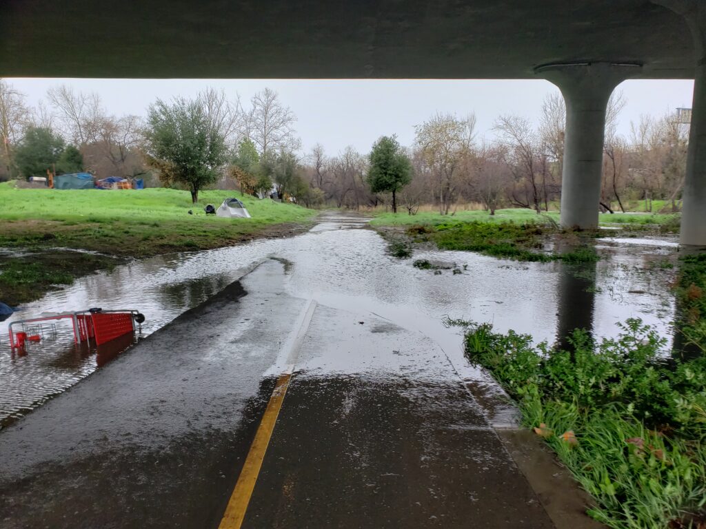
San Jose’s emergency declaration aligns with a statewide emergency proclamation made by Gov. Gavin Newsom in September. The local declaration will streamline various city procedures, allowing officials to more quickly purchase flood protection materials and equipment and pay for flood mitigation work.
It also gives them the authority to request mutual aid from state and local governments, such as Santa Clara County. Under the measure, city employees may also be redeployed across departments to help in preparedness work.
During Tuesday’s meeting, officials from Valley Water and San Jose also provided an update on storm preparation work.
Already this season, the South Bay water agency has carried out 167 projects, including vegetation removal and bank stabilization work along the city’s waterways. Meanwhile, San Jose’s preparedness work has included public outreach to boost flood awareness — including through workshops and community programs — that has reached 2,000 residents, officials said.
The mobilization effort comes nine years after the devastating 2017 Coyote Creek flood, which occurred after heavy rainfall caused the Anderson Dam in South San Jose to overflow — causing $100 million in damage.
Since then, Valley Water has drained Anderson Reservoir and launched a major seismic upgrade project for the dam.

Valley Water recently announced a significant milestone in that effort, with the completion of a new outlet tunnel that will help to drain the reservoir more quickly during storms, preventing future spillover events. Agency officials said they conducted a successful test release of water in late October, clearing the way for the next phase of work to begin, which will eventually lead to a complete reconstruction of the dam itself.
Following the 2017 flood, officials with the city and water agency have also taken steps to better coordinate their flood response efforts — and the work appears to be paying off, San Jose Mayor Matt Mahan said.
“It is great to see how far our respective agencies have come since 2017,” Mahan said during Tuesday’s meeting. “I think we’re coordinating in a really much more proactive and effective way.”
Contact Keith Menconi at [email protected] or @KeithMenconi on X.
Leave a Reply
You must be logged in to post a comment.